What is an Inertial Navigation System?
An inertial navigation system (INS) is a self-contained navigation solution that determines position, velocity, and orientation using internal motion sensors. Unlike GPS, which relies on satellite signals, an INS operates independently, making it essential for defense and military applications where external signals may be unavailable or compromised.
Importance of INS in Navigation and Positioning
Reliable navigation is critical for military operations. INS technology enables accurate positioning in GPS-denied environments, ensuring the seamless operation of aircraft, submarines, autonomous vehicles, and guided weapons. Its robustness against electronic warfare and GPS jamming makes it indispensable for defense applications.
How Does INS Work?
INS relies on an inertial measurement unit (IMU) that integrates data from accelerometers, gyroscopes, and sometimes magnetometers to track motion and orientation. By continuously calculating position changes based on acceleration and angular velocity, an INS can provide precise navigation data. Advanced systems use aiding sensors, such as barometers and Doppler radar, alongside error correction algorithms like the Kalman filter to improve accuracy and reduce drift.
Data collection and sensor fusion
INS collects raw data from multiple sensors and integrates it using sensor fusion techniques. This enhances accuracy by cross-verifying different sources of motion data.
Integration of motion data
By continuously updating position based on detected accelerations and rotations, INS provides real-time navigation information without reliance on external signals.
Error correction and drift management
One of the challenges of INS is error accumulation over time. Techniques such as drift compensation, sensor calibration, and hybrid navigation with GPS mitigate these errors.
Role of Kalman filtering
The Kalman filter plays a crucial role in refining data accuracy by filtering out noise and predicting optimal state estimates based on previous measurements.
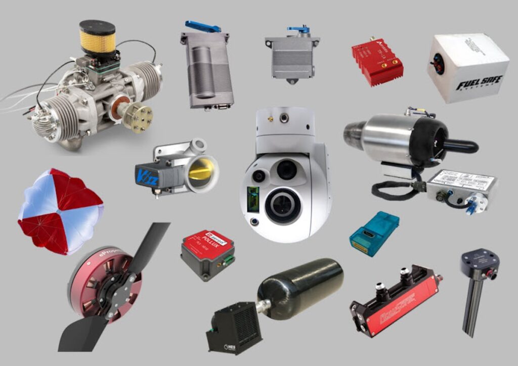
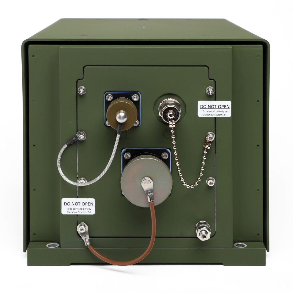
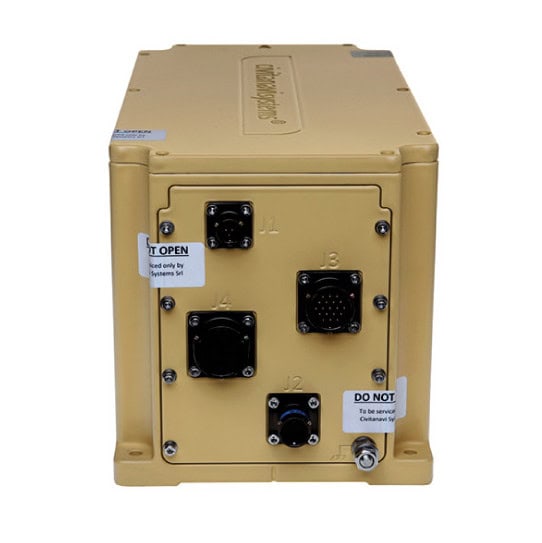
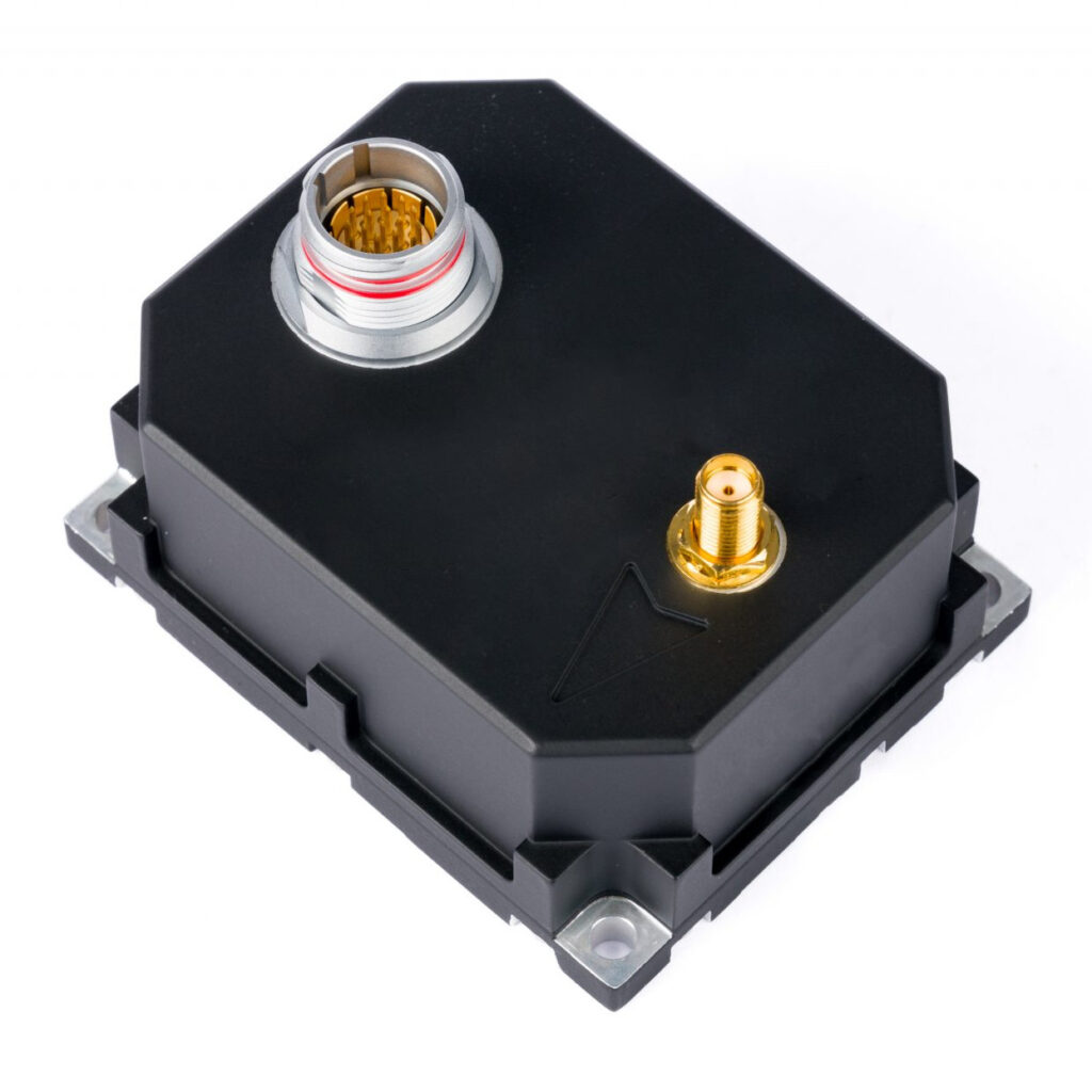
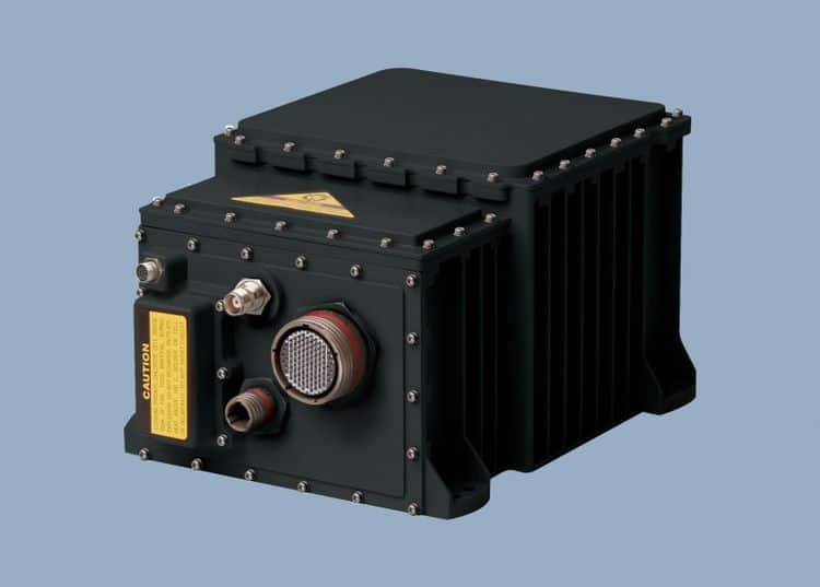
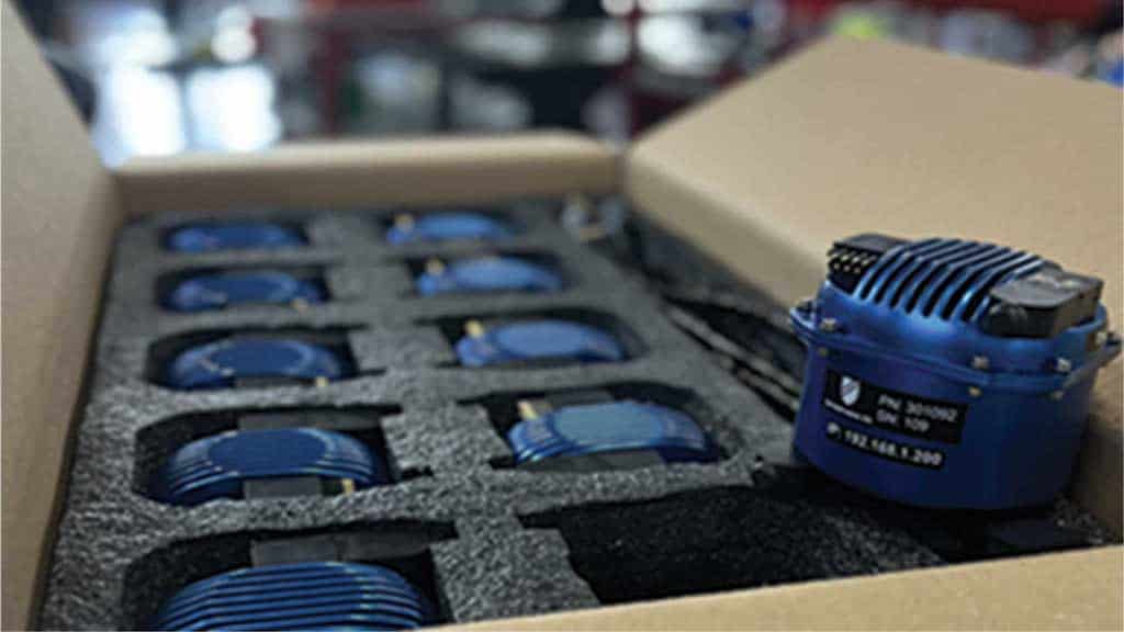
Components of an INS
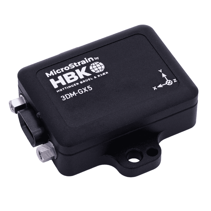
Inertial measurement unit (IMU)
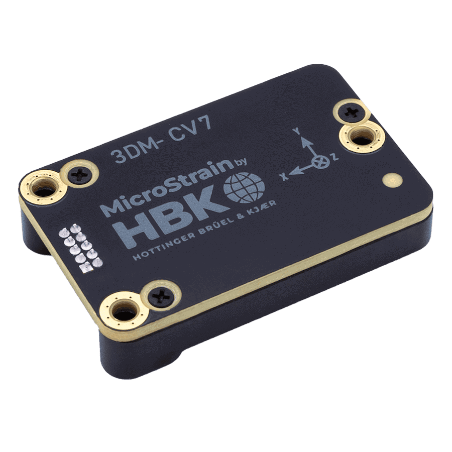
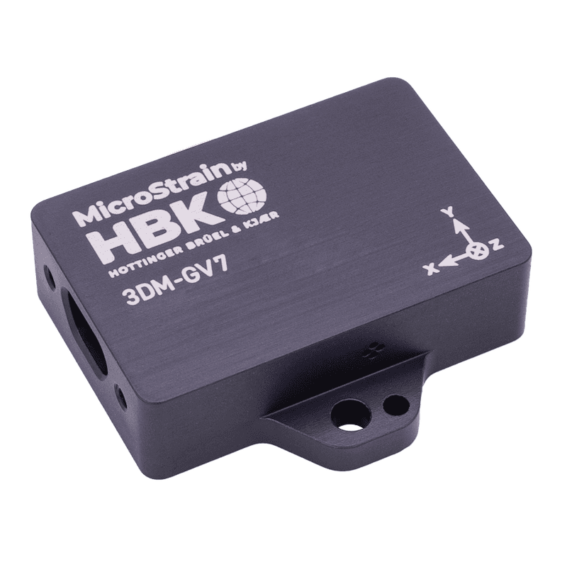
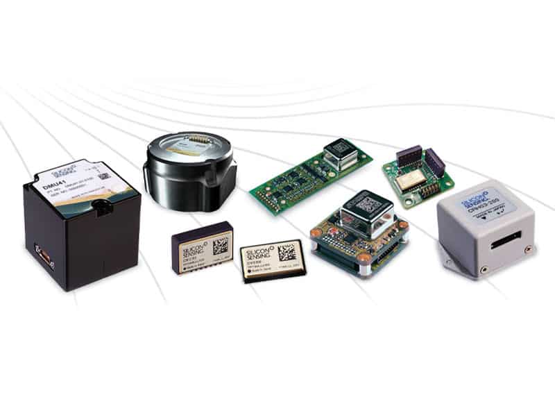
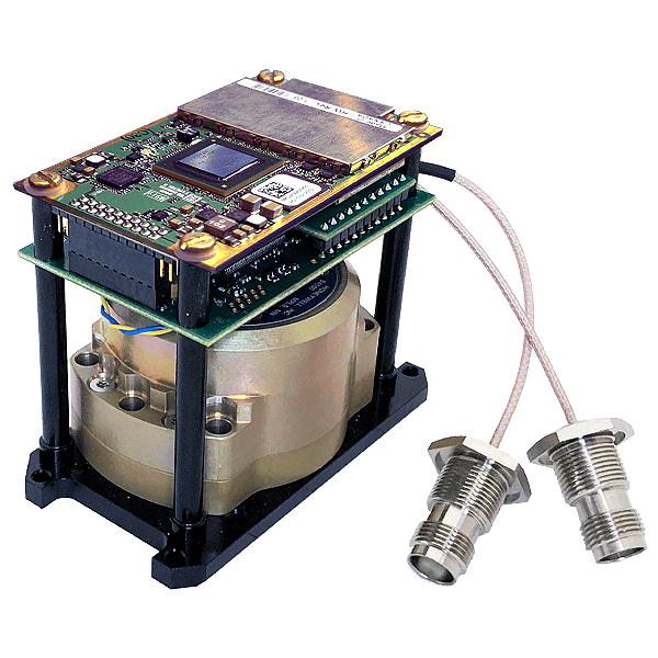
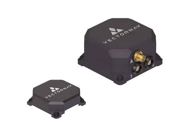
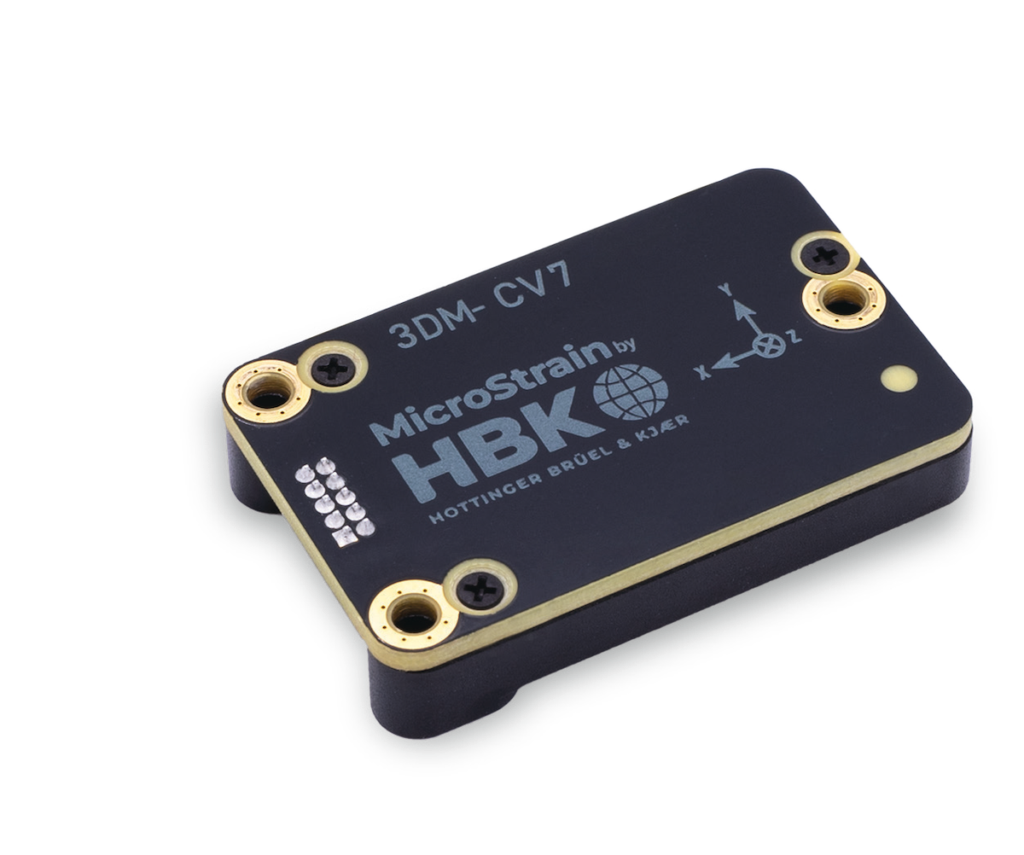
3DM-CV7-AR IMU & VRU by MicroStrain by HBK
The IMU is the core of an INS, combining multiple sensors to measure linear and angular motion. High-precision IMUs enhance navigation accuracy and reduce drift.
Accelerometers
Accelerometers measure linear acceleration along different axes. By integrating acceleration data over time, the system calculates velocity and displacement.
Gyroscopes
Gyroscopes detect angular velocity and help determine orientation. Precision gyroscopes, such as fiber-optic and ring laser gyros, are used in high-end military INS solutions.
Magnetometers
Magnetometers measure the Earth’s magnetic field, aiding in heading determination and sensor fusion. While not always included, they enhance accuracy in certain applications.
Navigation computer
The navigation computer processes data from the IMU and other sensors, executing algorithms to estimate position and correct errors.
Kalman filter
A Kalman filter is a mathematical algorithm that optimally combines sensor data. It reduces noise and improves the reliability of position estimates, which is crucial for minimizing drift over time.
GPS/GNSS integration
Many modern INS solutions incorporate GPS/GNSS for hybrid navigation. GPS-aided INS enhances accuracy, especially for long-duration missions.
Other aiding sensors
Additional sensors such as barometers, odometers, and Doppler radar improve INS performance by providing external references for position estimation.
Types of Inertial Navigation Systems
Strapdown INS
A strapdown INS has its IMU fixed directly to the moving platform, relying on software-based algorithms to calculate motion. It is widely used in modern defense systems due to its compact size and cost-effectiveness.
Gimballed INS
A gimballed INS uses mechanical stabilization to isolate the IMU from platform movement. While historically common in aviation and maritime applications, it is gradually being replaced by strapdown systems.
Hybrid INS
Hybrid INS solutions combine inertial sensors with other navigation aids, such as GPS, Doppler radar, or LiDAR, to improve accuracy and counter drift.
Defense and Military Applications of INS
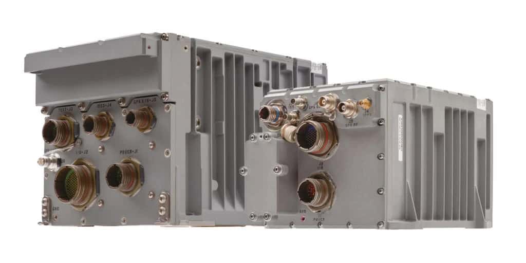
Aerospace and Air Force
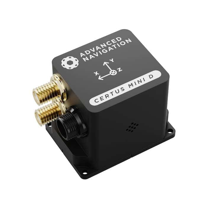
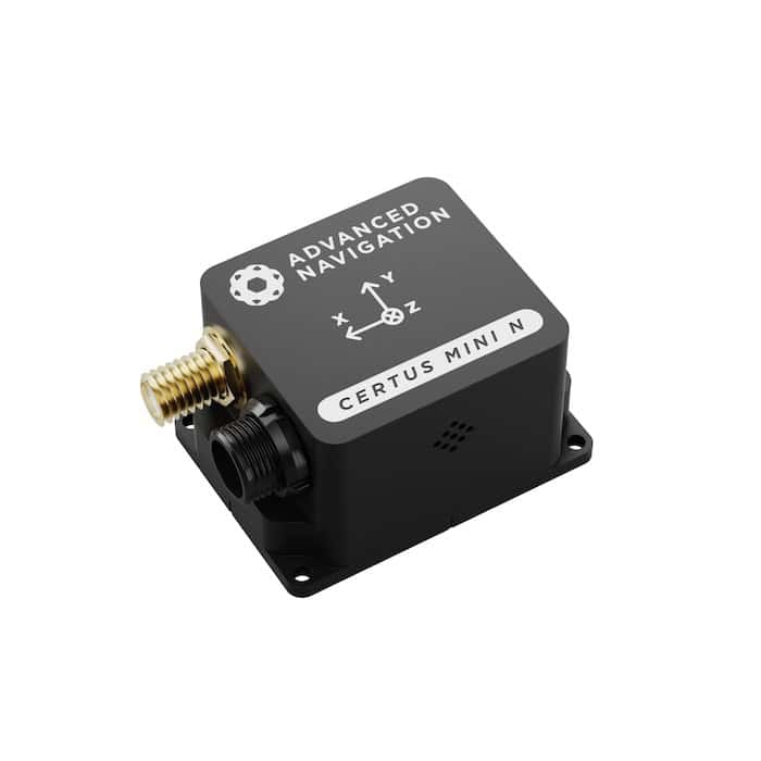
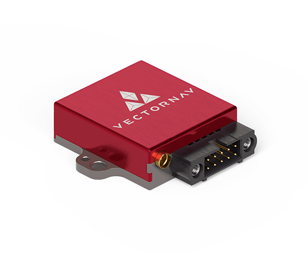
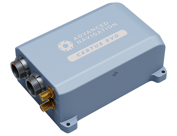
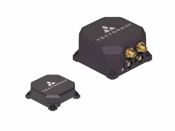
Certus Mini D MEMS GNSS/INS Inertial Navigation System ideal for Drones & Robotics by Advanced Navigation
INS is critical for military aircraft, UAVs, and spacecraft. It provides precise navigation, attitude determination, and redundancy in GPS-denied environments.
Maritime and naval systems
Submarines and naval vessels rely on INS for underwater navigation, where GPS signals are unavailable.
Military ground vehicles
INS supports autonomous navigation for military land vehicles and robotic platforms, enabling operation in hostile or signal-jammed regions.
Missile guidance and weapons systems
Precision-guided munitions, ballistic missiles, and cruise missiles use INS for accurate targeting and mid-course corrections.
Underground and GPS-denied environments
INS enables effective navigation in tunnels, caves, and urban warfare scenarios where satellite signals are obstructed.
INS vs Other Navigation Systems
Comparison table of Inertial Navigation Systems (INS) with Other Navigation Technologies
Summary of INS comparison table
- INS excels in GPS-denied environments and military applications but requires drift correction.
- GNSS is ideal for general navigation but is vulnerable to interference.
- Dead reckoning is a low-cost alternative but suffers from error accumulation.
- Visual SLAM works well in structured environments but depends on external visibility.
Combining INS with GNSS, radar, LiDAR, or SLAM can offer hybrid navigation solutions that maximize accuracy and resilience.
Advances and Future Trends in INS
MEMS-based INS
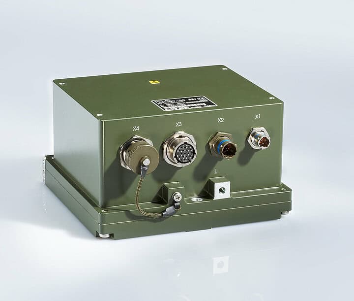
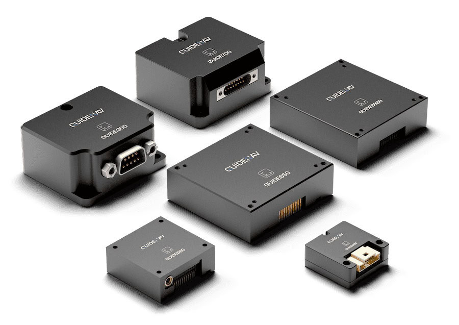
H-764 & FALCN GPS/INS GPS Inertial Navigation Systems by Honeywell for military applications
Micro-electromechanical systems (MEMS) technology has enabled miniaturized, cost-effective INS solutions suitable for small UAVs, robotics, and portable defense systems.
AI and machine learning in INS
Machine learning algorithms enhance sensor fusion, drift correction, and predictive navigation models.
Quantum inertial sensors
Quantum-based inertial sensors offer groundbreaking improvements in accuracy and stability, potentially revolutionizing military navigation.
Advanced sensor fusion
Future INS systems will integrate LiDAR, cameras, and radar for enhanced situational awareness and precision.
INS Buying Guide and Selection Criteria
Factors to consider when choosing an INS
- Accuracy and drift rate: Higher accuracy and lower drift rates are crucial for long-duration missions.
- Environmental conditions: Military INS solutions must withstand extreme temperatures, shock, and vibration.
- Size and weight: Compact solutions are preferred for UAVs and portable applications.
- Integration capabilities: Hybrid systems with GPS, LiDAR, or radar enhance performance.
Industry standards and regulatory guidelines
Defense-grade INS solutions must comply with industry standards such as MIL-STD for military equipment and DO-178C for software certification in avionics applications.
Future Developments in INS Technology
Ongoing advancements in sensor technology, quantum navigation, and AI-driven data processing will continue to enhance INS accuracy and reliability. As defense applications demand ever-more precise and resilient navigation solutions, the evolution of INS will play a vital role in modern military operations.